Trip Inspirations
Discover your own trail!
Curated by members of the Lewis & Clark Trail Alliance, these Trip Inspirations are here to help. Each trip has stops with nearby attractions and an interactive map with driving directions. In the map, you can reverse direction, remove stops, or add your own. If that is not enough, use our VisitWidget app to build your trip.
There are no inspiration trips on the DEV server for this group. Refer to the "Master Outline" and use your imagination.
There are no inspiration trips on the DEV server for this group. Refer to the "Master Outline" and use your imagination.
Along the Mississippi Subtitle
The Mississippi and lower Missouri region of the Lewis and Clark National Historic Trail offers a variety of influence and architecture. From early French influence in Ste. Genevieve and Cahokia, the recreation of the first winter Camp Dubois, the magnificent…
Stops: 6
Distance: 150 miles
A dizzying array of possibilities and I need this to wrap onto two lines fo
St. Louis holds a pivotal place in the history of America’s westward expansion, symbolized by the iconic Gateway Arch National Park. But the St. Louis area offers far more than just the Arch and a celebrated baseball team. Discover…
Stops: 9
Distance: miles
Catch the KATY Trail
On May 21, 1804, the Expedition departed from St. Charles, reaching the mouth of Moniteau Creek on June 7th, near what is now Rocheport. Traveling westward from St. Charles, you can trace their path on both sides of the river.…
Stops: 9
Distance: 204 miles
Blue Highways
Leaving Columbia, head west and take exit 121 off the interstate to embark on one of William Least Heat Moon’s “Blue Highways.” You’ll find yourself on old US 40, heading toward Fayette and into the heart of Booneslick Country, named…
Stops: 7
Distance: 157 miles
Hard Right at Kansas City
The Missouri River takes a sharp upstream turn at Kansas City, near the Mouth of the Kaw, which now marks the border between Missouri and Kansas. This border was established in 1836, following the Platte Purchase, a land acquisition that…
Stops: 6
Distance: 89 miles
South Loop Tour
After leaving their first winter encampment at Camp Dubois across from St. Louis, Missouri on May 14, 1804, the Corps of Discovery under the direction of US Army Captains Meriwether Lewis and William Clark made their way slowly but surely…
Stops: 5
Distance: 33 miles
North Loop Tour
After leaving their first winter encampment at Camp Dubois across from St. Louis, Missouri on May 14, 1804, the Corps of Discovery under the direction of US Army Captains Meriwether Lewis and William Clark made their way slowly but surely…
Stops: 8
Distance: 161 miles
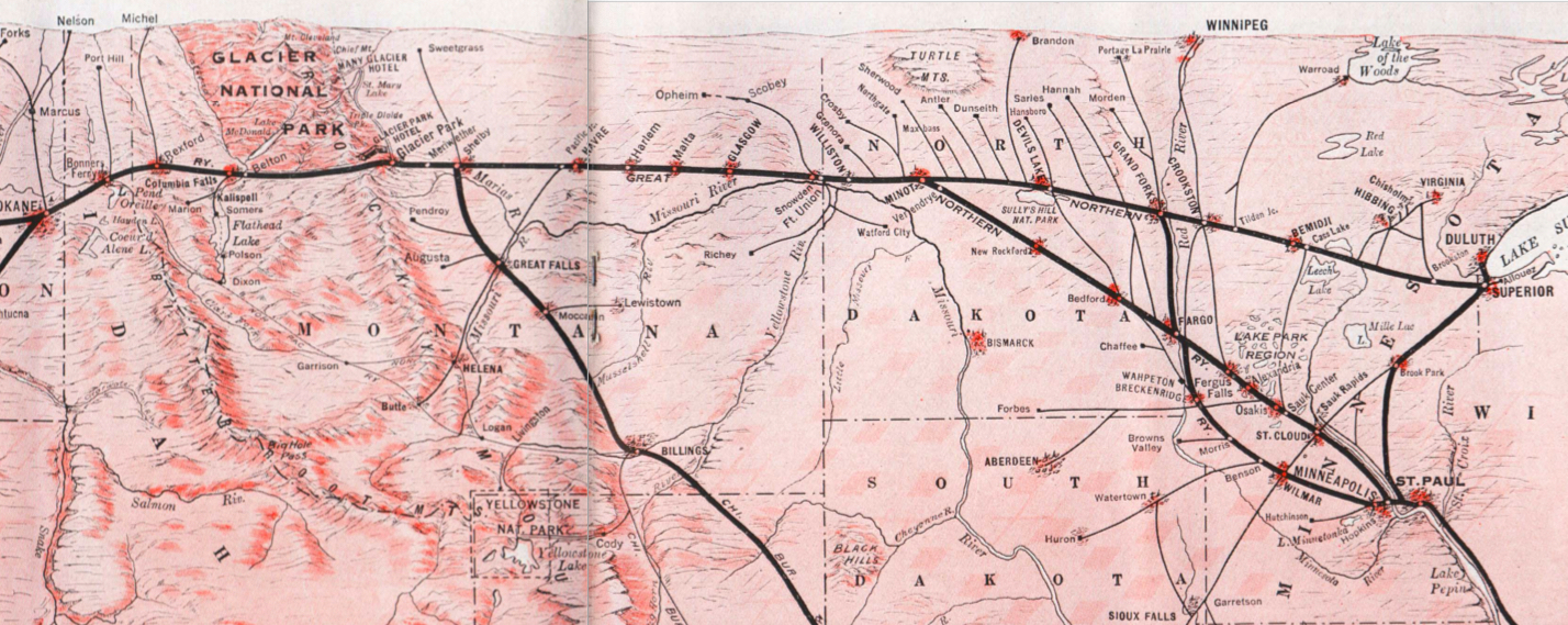
The Lewis & Clark Expedition disproved the existence of an easy, river-based Northwest Passage through the middle latitudes of North America. In the decades to follow, the Oregon Trail, the Pony Express, and various stagecoach routes allowed for difficult, dangerous,…
Stops: 8
Distance: miles
The Lewis & Clark Expedition disproved the existence of an easy, river-based Northwest Passage through the middle latitudes of North America. In the decades to follow, the Oregon Trail, the Pony Express, and various stagecoach routes allowed for difficult, dangerous,…
Stops: 5
Distance: miles
The Lewis & Clark Expedition disproved the existence of an easy, river-based Northwest Passage through the middle latitudes of North America. In the decades to follow, the Oregon Trail, the Pony Express, and various stagecoach routes allowed for difficult, dangerous,…
Stops: 4
Distance: miles
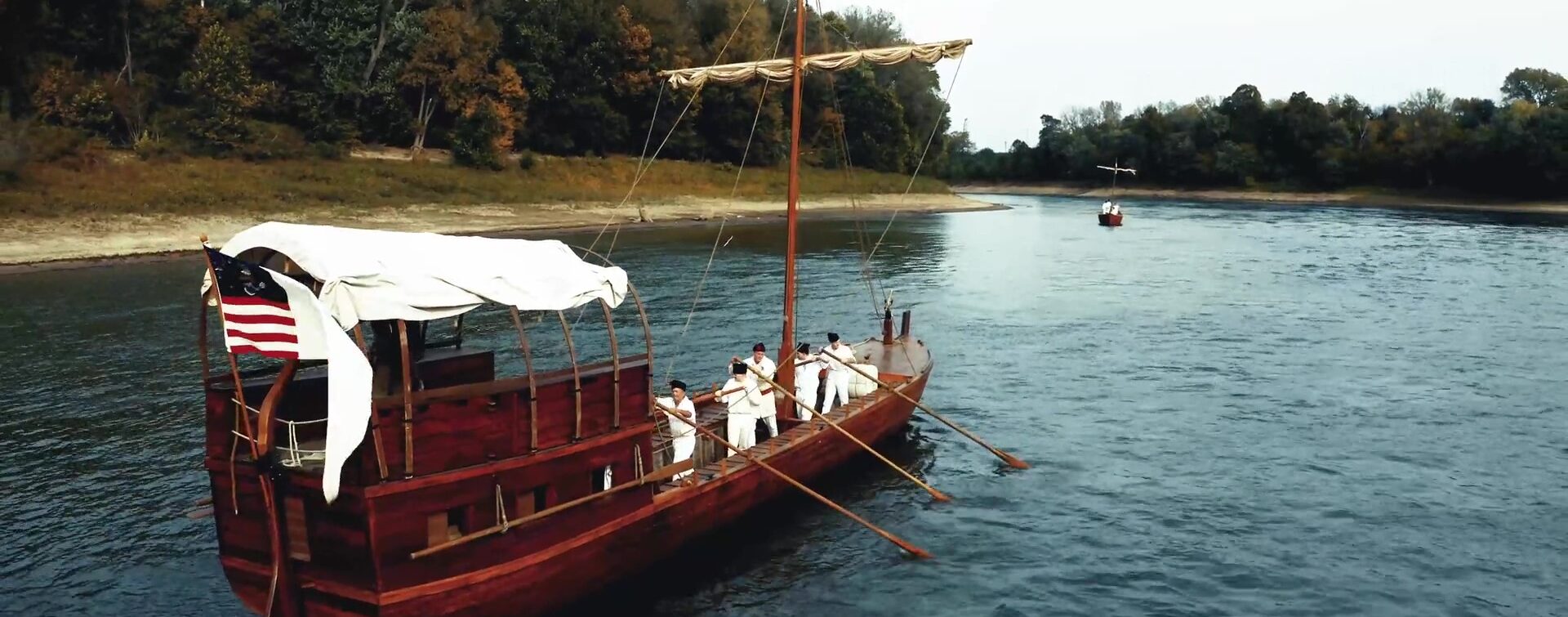
The Lewis and Clark Expedition left Fort Mandan on April 7, 1805. On that date, Meriwether Lewis penned in his journal (spelling in the orginal): “Our vessels consisted of six small canoes, and two large perogues. This little fleet altho’…
Stops: 11
Distance: miles
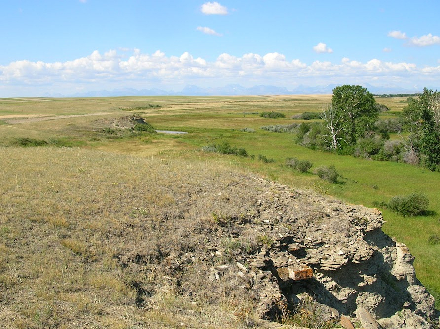
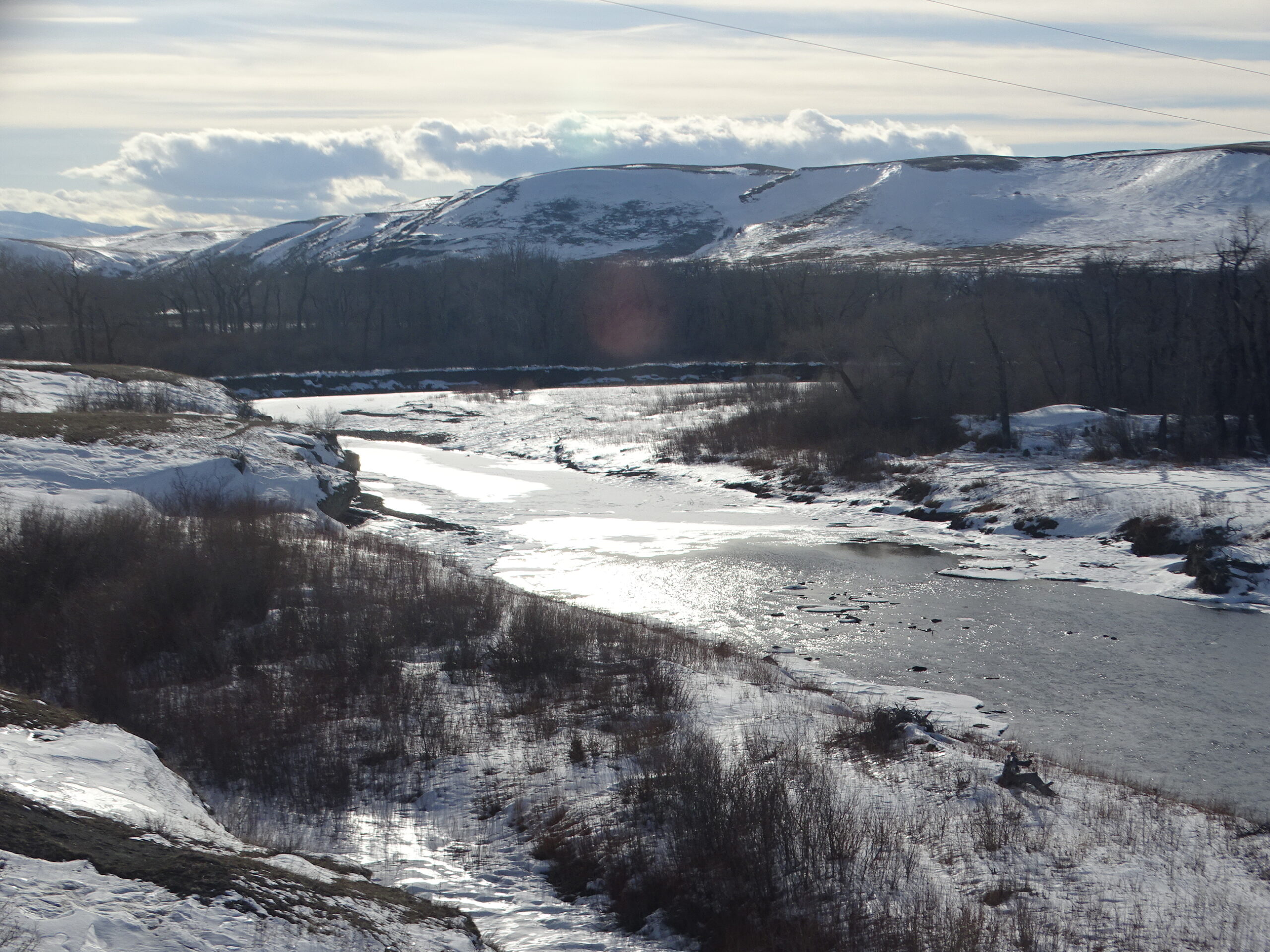
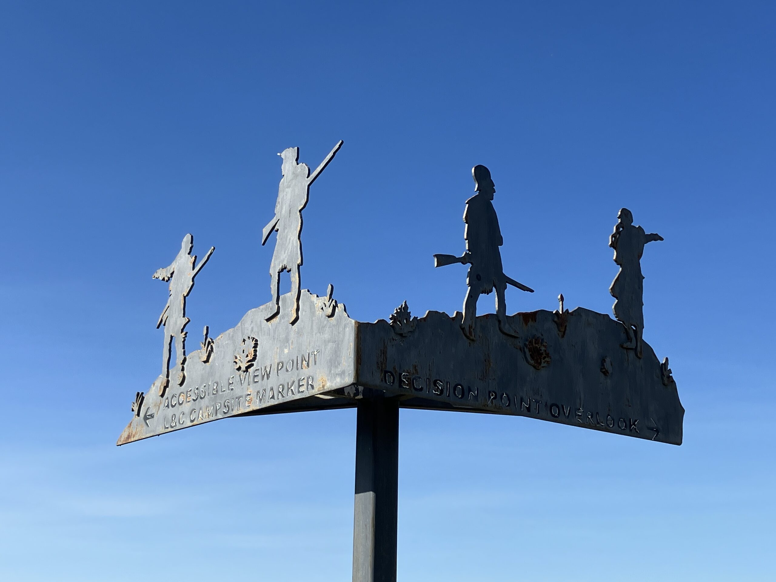
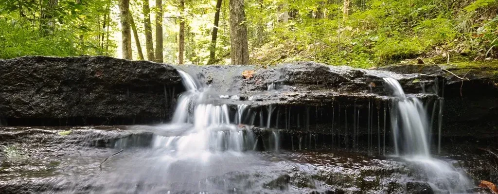
On June 13, 1805, Capt. Meriwether Lewis encountered the Great Falls of the Missouri and knew that the left branch at Decision Point was the true Missouri River. Further exploration revealed that a total of five waterfalls in the area…
Stops: 9
Distance: miles
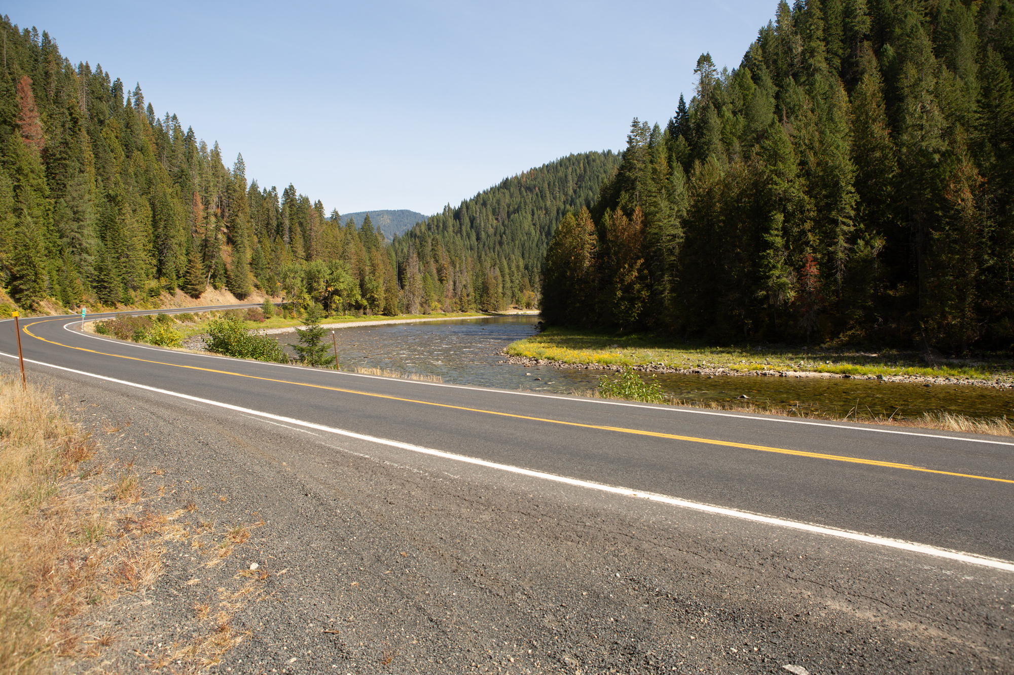
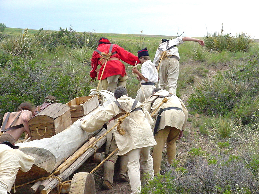
Due to steep hills and canyons, the Lewis and Clark Expedition was not able to follow the present route of US Highway 12 between Kamiah, Idaho and Lolo, Montana. Their route instead followed the ridgelines roughly 2000 feet above the…
Stops: 10
Distance: miles
The confluence of the Clearwater and Snake Rivers was an important geographic point passed by the Lewis and Clark Expedition in the fall of 1805. The Snake appeared on William Clark’s resulting map as Lewis’s River. The native Nez Perce…
Stops: 8
Distance: miles
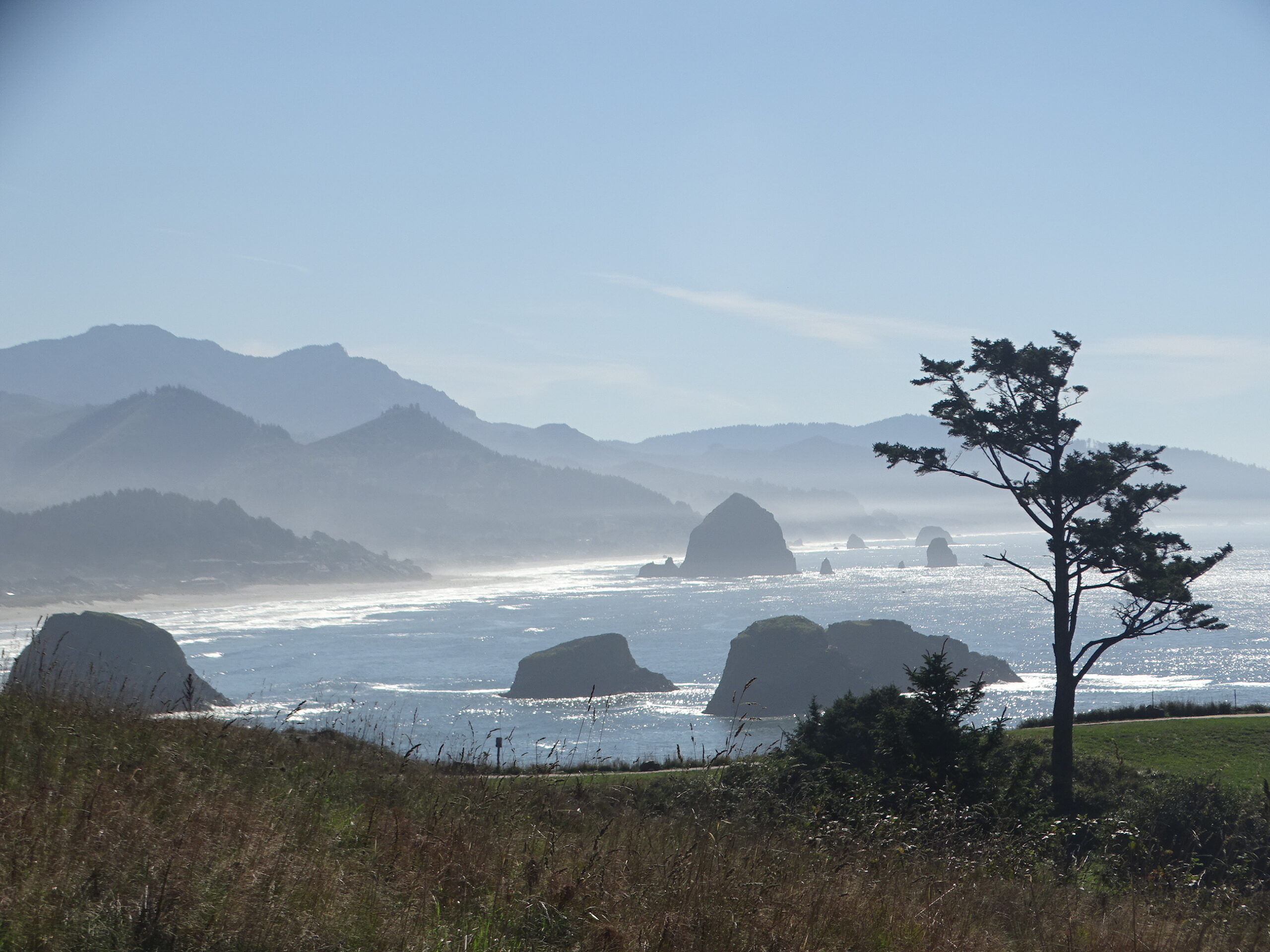
The Washington Side
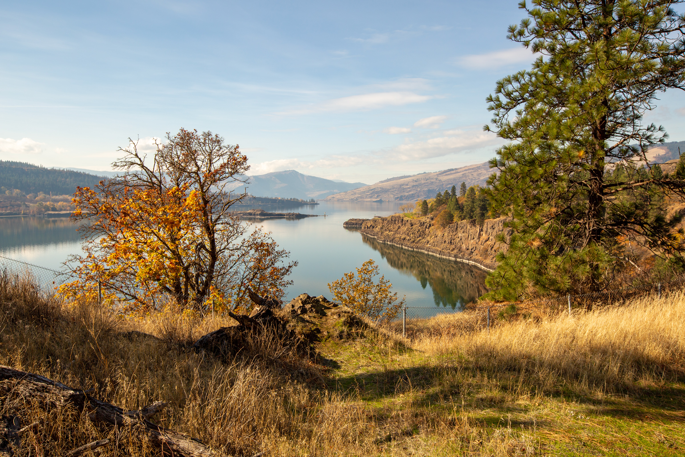
Ignore the traffic and crowds on the Oregon side of “The Gorge” and instead, follow the quieter, two-lane “Lewis and Clark Highway” (WA State Highway 14) on the Washington side of the Columbia Gorge National Scenic Area. Stop at viewpoints,…
Stops: 7
Distance: 89 miles
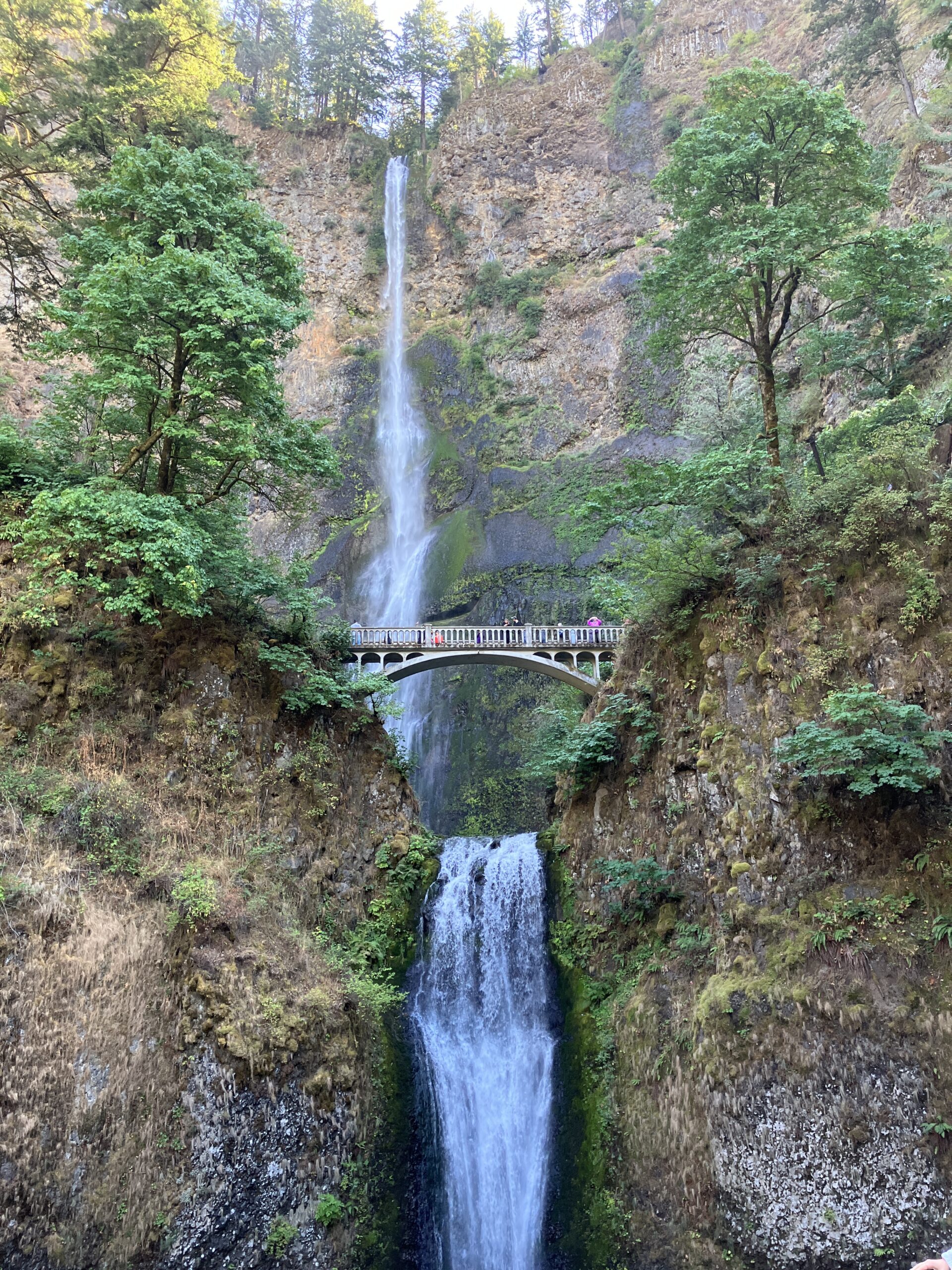
The Oregon Side
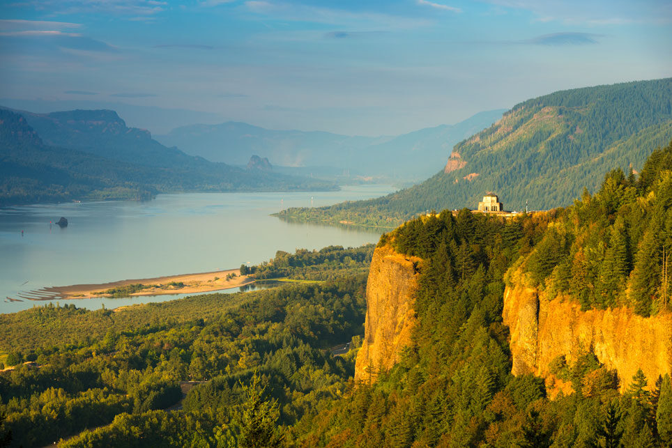
This trip offers iconic views of the Columbia River Gorge, a lifetime of epic day hikes, numerous waterfalls, the wind surfing vibe of Hood River, a classic discovery center, and Fort Rock—a Lewis and Clark campsite in The Dalles. NOTE:…
Stops: 7
Distance: 88 miles
There are no inspiration trips on the DEV server for this group. Refer to the "Master Outline" and use your imagination.
A dizzying array of possibilities and I need this to wrap onto two lines fo
St. Louis holds a pivotal place in the history of America’s westward expansion, symbolized by the iconic Gateway Arch National Park. But the St. Louis area offers far more than just the Arch and a celebrated baseball team. Discover…
Stops: 9
Distance: miles
South Loop Tour
After leaving their first winter encampment at Camp Dubois across from St. Louis, Missouri on May 14, 1804, the Corps of Discovery under the direction of US Army Captains Meriwether Lewis and William Clark made their way slowly but surely…
Stops: 5
Distance: 33 miles
North Loop Tour
After leaving their first winter encampment at Camp Dubois across from St. Louis, Missouri on May 14, 1804, the Corps of Discovery under the direction of US Army Captains Meriwether Lewis and William Clark made their way slowly but surely…
Stops: 8
Distance: 161 miles
The confluence of the Clearwater and Snake Rivers was an important geographic point passed by the Lewis and Clark Expedition in the fall of 1805. The Snake appeared on William Clark’s resulting map as Lewis’s River. The native Nez Perce…
Stops: 8
Distance: miles
Along the Natchez Trace
Hohenwald, meaning “High Forest” in German, is a picturesque town that serves as the county seat of Lewis County, Tennessee. This town, along with its surrounding area, plays a significant role in the Lewis and Clark story, as it is…
Stops: 7
Distance: miles
The confluence of the Clearwater and Snake Rivers was an important geographic point passed by the Lewis and Clark Expedition in the fall of 1805. The Snake appeared on William Clark’s resulting map as Lewis’s River. The native Nez Perce…
Stops: 8
Distance: miles
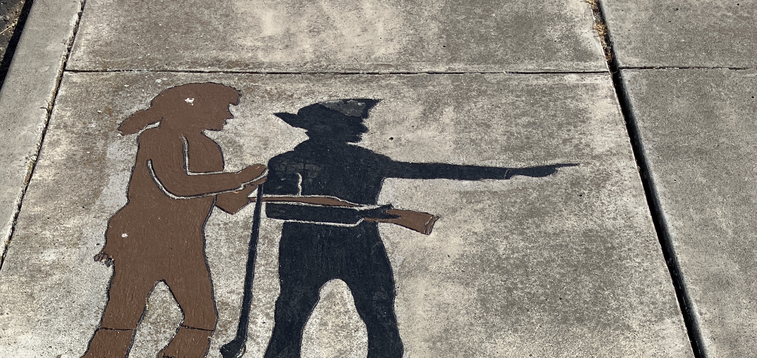
Confluence Projects and Public Works of Art
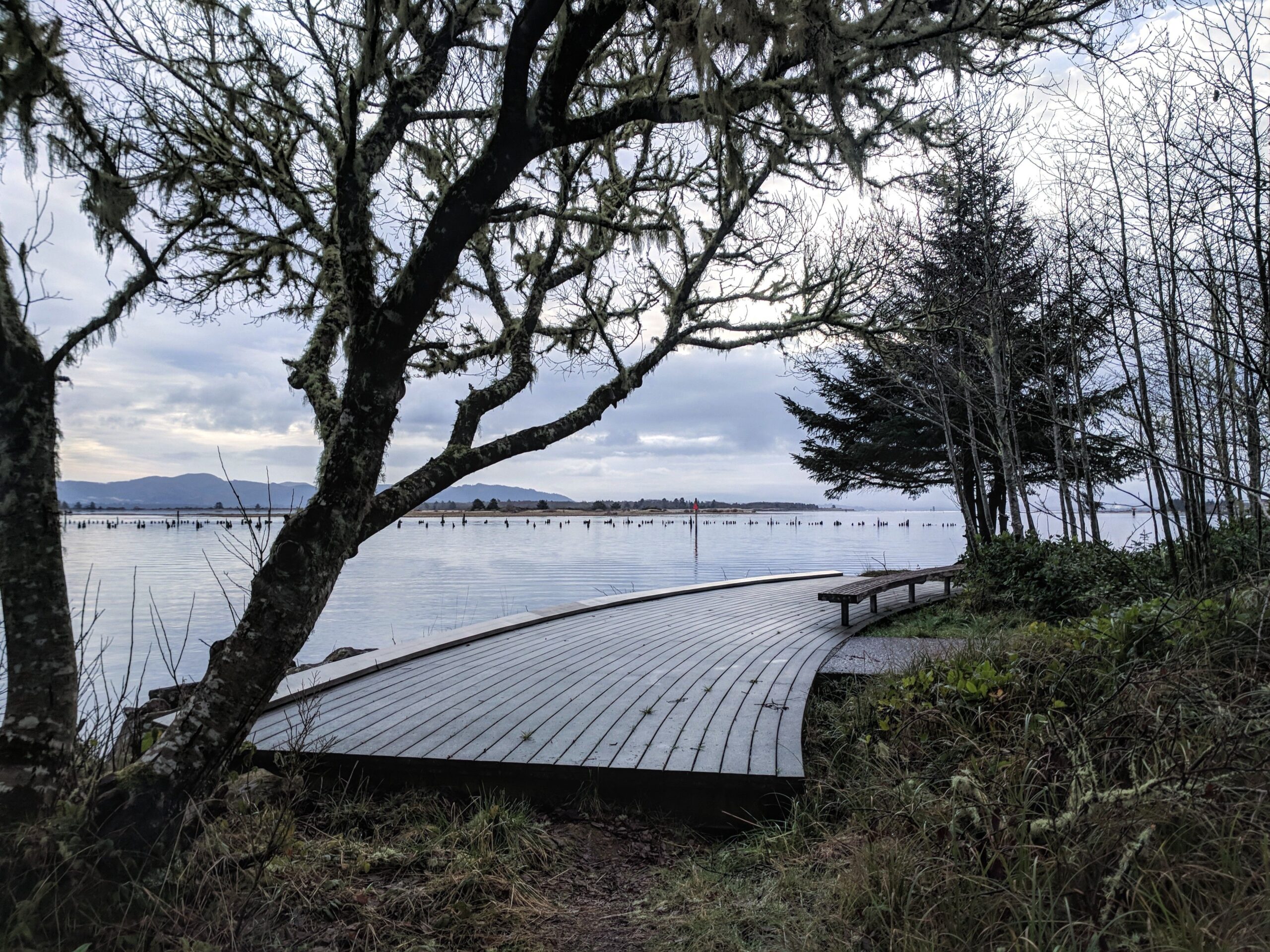
With the Bicentennial of Lewis & Clark and the Corps of Discovery on the horizon, cultural leaders throughout the Columbia Basin contemplated separate public art projects in their various locations. Starting in the year 1999, a gradual consensus formed to…
Stops: 12
Distance: miles
The Lewis & Clark Expedition disproved the existence of an easy, river-based Northwest Passage through the middle latitudes of North America. In the decades to follow, the Oregon Trail, the Pony Express, and various stagecoach routes allowed for difficult, dangerous,…
Stops: 8
Distance: miles
The Lewis & Clark Expedition disproved the existence of an easy, river-based Northwest Passage through the middle latitudes of North America. In the decades to follow, the Oregon Trail, the Pony Express, and various stagecoach routes allowed for difficult, dangerous,…
Stops: 5
Distance: miles
The Lewis & Clark Expedition disproved the existence of an easy, river-based Northwest Passage through the middle latitudes of North America. In the decades to follow, the Oregon Trail, the Pony Express, and various stagecoach routes allowed for difficult, dangerous,…
Stops: 4
Distance: miles
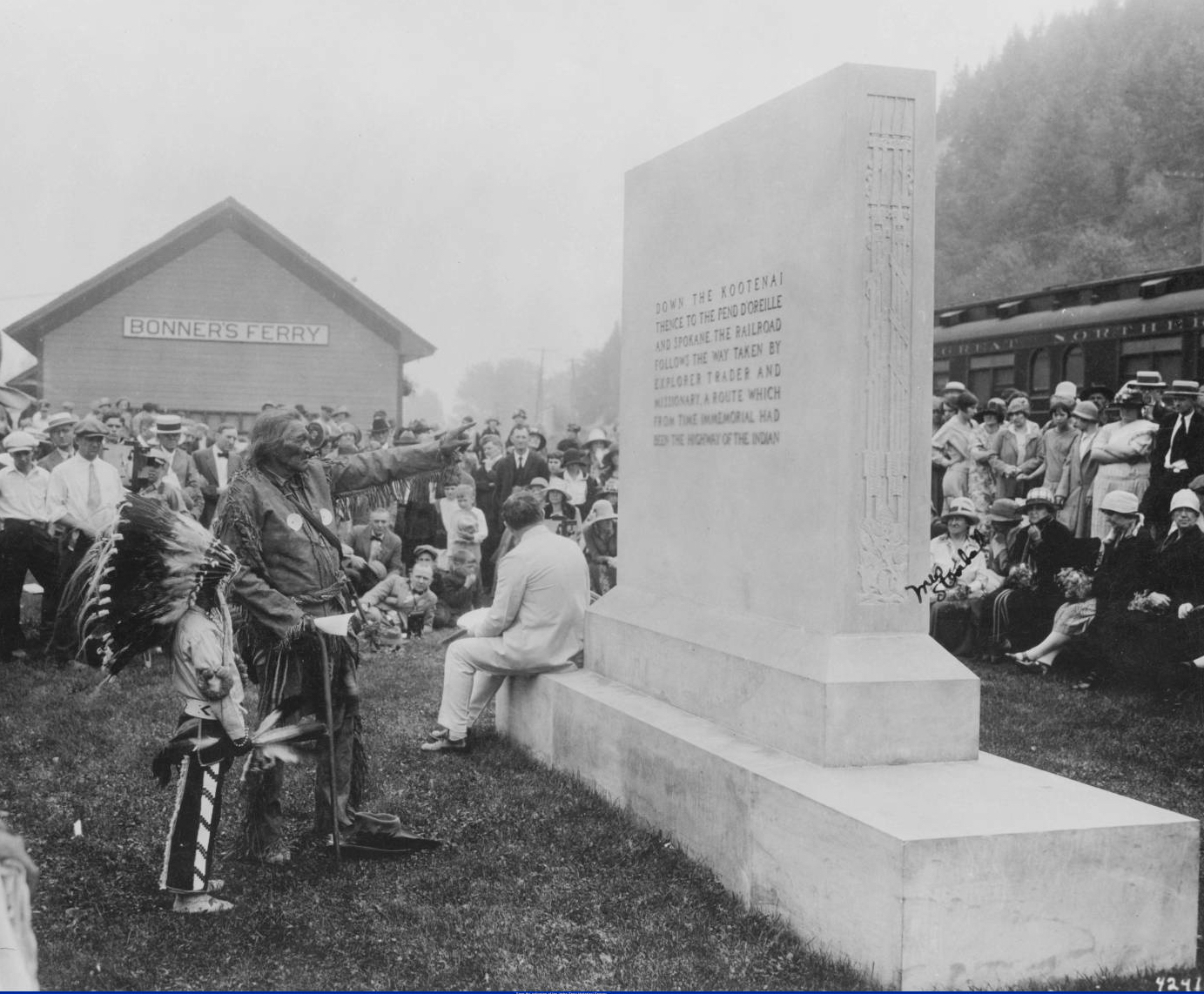
The Lewis & Clark Expedition disproved the existence of an easy, river-based Northwest Passage through the middle latitudes of North America. In the decades to follow, the Oregon Trail, the Pony Express, and various stagecoach routes allowed for difficult, dangerous,…
Stops: 6
Distance: miles
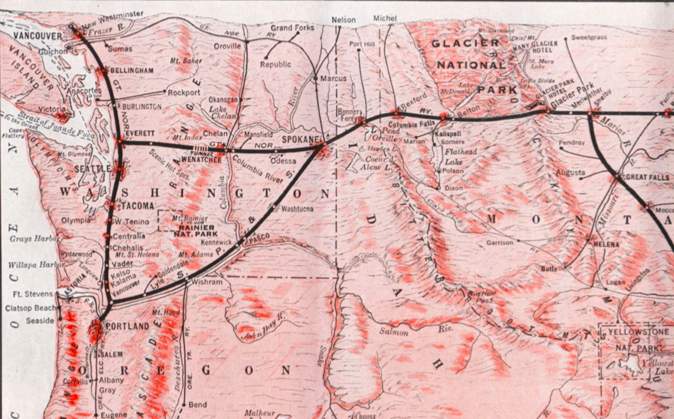
The Lewis & Clark Expedition disproved the existence of an easy, river-based Northwest Passage through the middle latitudes of North America. In the decades to follow, the Oregon Trail, the Pony Express, and various stagecoach routes allowed for difficult, dangerous,…
Stops: 8
Distance: miles
The Lewis & Clark Expedition disproved the existence of an easy, river-based Northwest Passage through the middle latitudes of North America. In the decades to follow, the Oregon Trail, the Pony Express, and various stagecoach routes allowed for difficult, dangerous,…
Stops: 10
Distance: miles
The Lewis & Clark Expedition disproved the existence of an easy, river-based Northwest Passage through the middle latitudes of North America. In the decades to follow, the Oregon Trail, the Pony Express, and various stagecoach routes allowed for difficult, dangerous,…
Stops: 8
Distance: miles
The Lewis and Clark Expedition left Fort Mandan on April 7, 1805. On that date, Meriwether Lewis penned in his journal (spelling in the orginal): “Our vessels consisted of six small canoes, and two large perogues. This little fleet altho’…
Stops: 11
Distance: miles
Our bi-weekly newsletter provides news, history, and information for those interested in traveling along along the Lewis & Clark Trail.
Note: Instagram feed and SmashBalloon plugin are disabled on the DEV website.