Coopers Fort
As tensions between England and the United States worsened, war was declared in 1812. In response, settlers in the Boonslick region swiftly built forts for protection. The largest of these was Cooper’s Fort, a stockade with log houses, located near present-day Glasgow, Missouri, close to the Missouri River. A communal 250-acre field was farmed by the fort’s residents, which included 20 families and several young men.
The Cooper family had originally come from Culpepper County, Virginia, traveling through Madison County, Kentucky. In 1808, Colonel Benjamin Cooper attempted to establish a settlement near Arrow Rock, but due to unresolved Native American land claims, Governor Meriwether Lewis ordered him to return to Loutre Island.
In 1810, Benjamin, along with his brother Sarshall Cooper and others, returned to the area, resettling in Howard County. They fortified their settlement to protect against Native American attacks, as the Boonslick settlements, numbering around 150 people, were isolated from St. Louis and largely self-reliant for defense.
Although the Cooper family never settled in what is now Cooper County, the county was later named in honor of Sarshall Cooper, a prominent frontiersman and captain of a local militia.
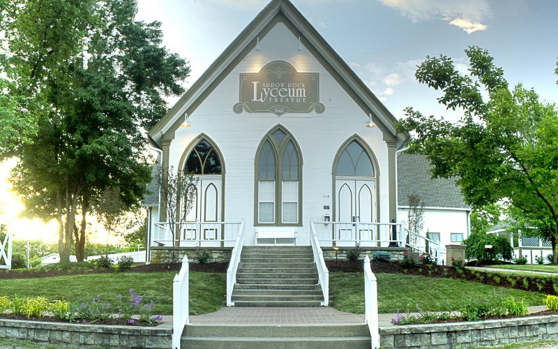
Lyceum Theatre, High Street, Arrow Rock, MO, USA
Distance: 2.06 mi (straight line)
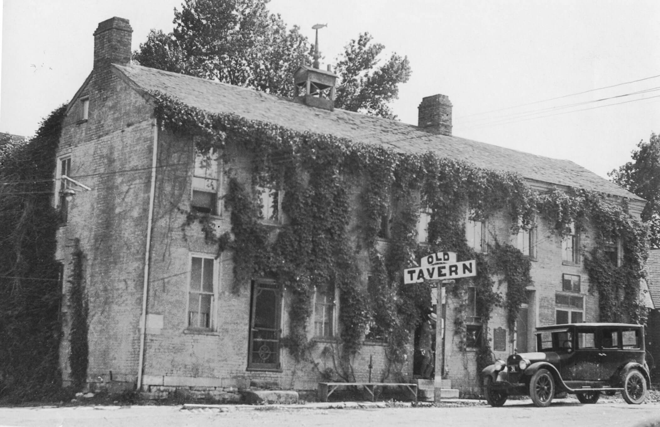
J Huston Tavern, Main Street, Arrow Rock, MO, USA
Distance: 2.08 mi (straight line)
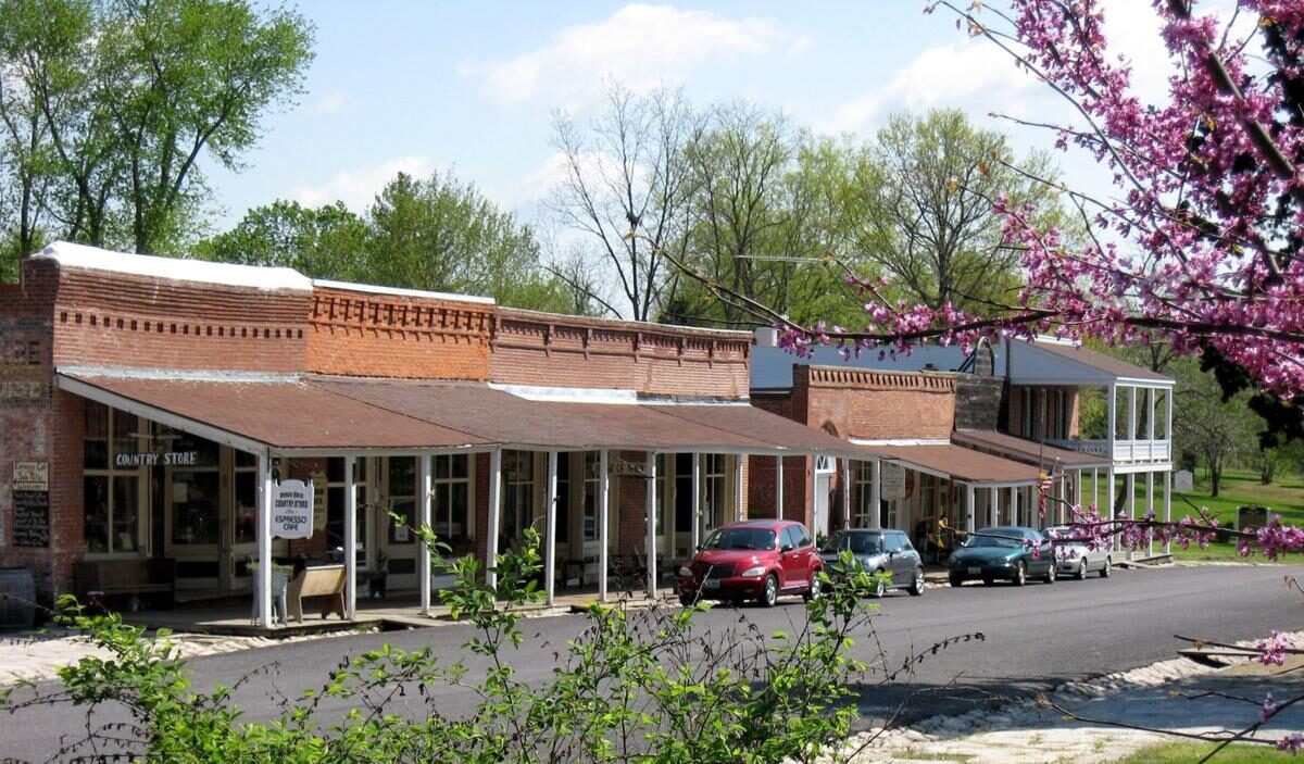
Arrow Rock, MO, USA
Distance: 2.14 mi (straight line)
Museums and Interpretive Centers RV and Camping LC Features
View Listing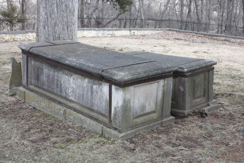
Sappington Cemetery State Historic Site, County Road AA, Nelson, MO, USA
Distance: 5.53 mi (straight line)
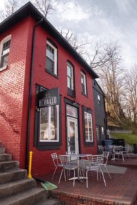
Derailed Coffee Bar & Cafe, West Spring Street, Boonville, MO, USA
Distance: 10.33 mi (straight line)
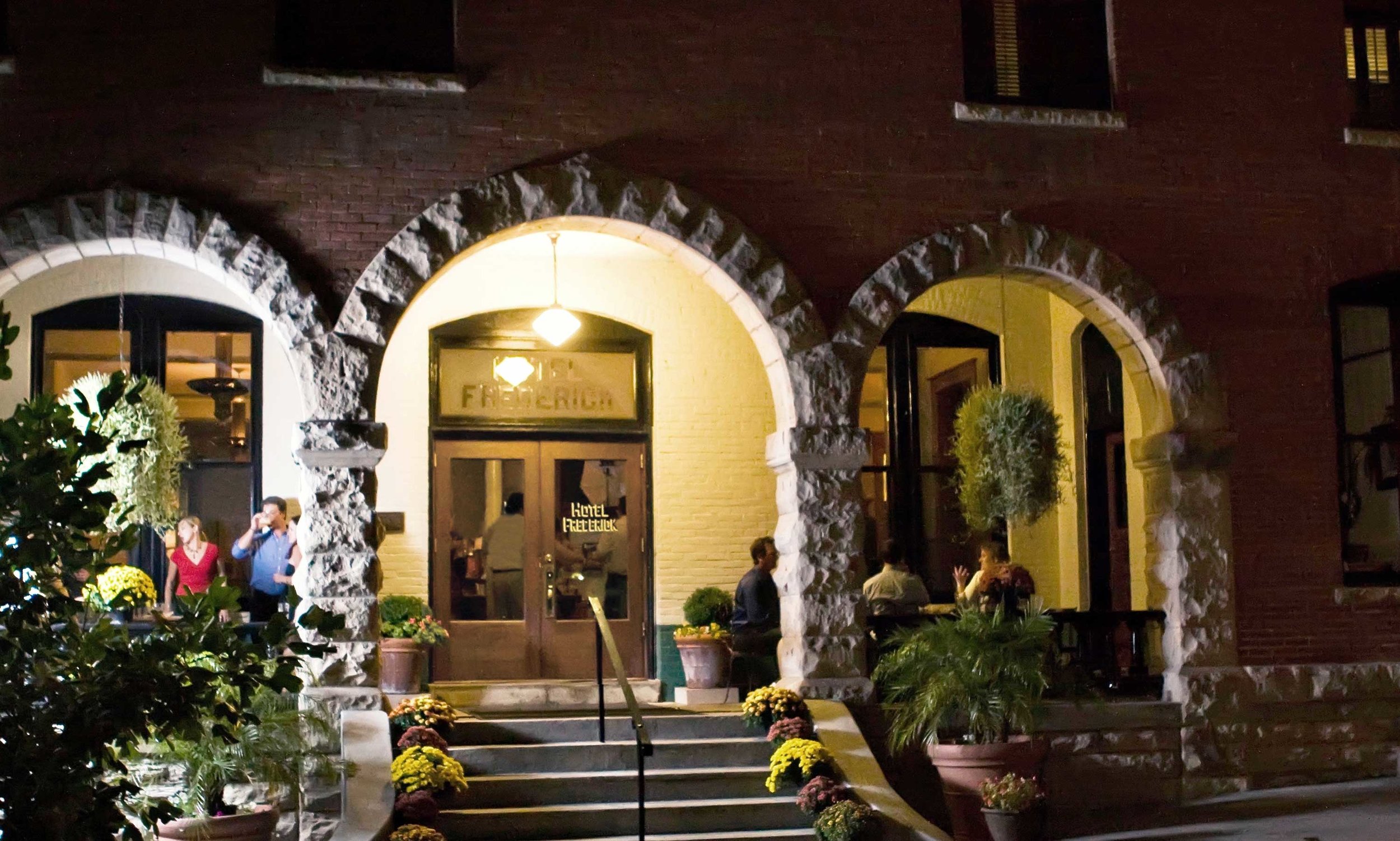
Hotel Frederick, High Street, Boonville, MO, USA
Distance: 10.47 mi (straight line)
Bars Food and Drinks Lodging Outfitters
View Listing
614 East Morgan Street, Boonville, MO 65233, USA
Distance: 10.62 mi (straight line)
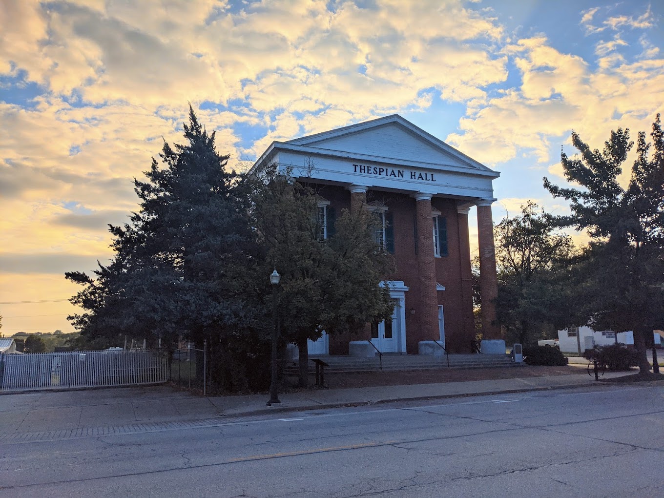
Thespian Hall, Main Street, Boonville, MO, USA
Distance: 10.68 mi (straight line)
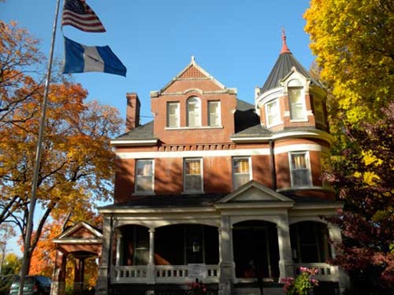
DAR Headquarters - Roslyn Heights, Main Street, Boonville, MO, USA
Distance: 10.86 mi (straight line)
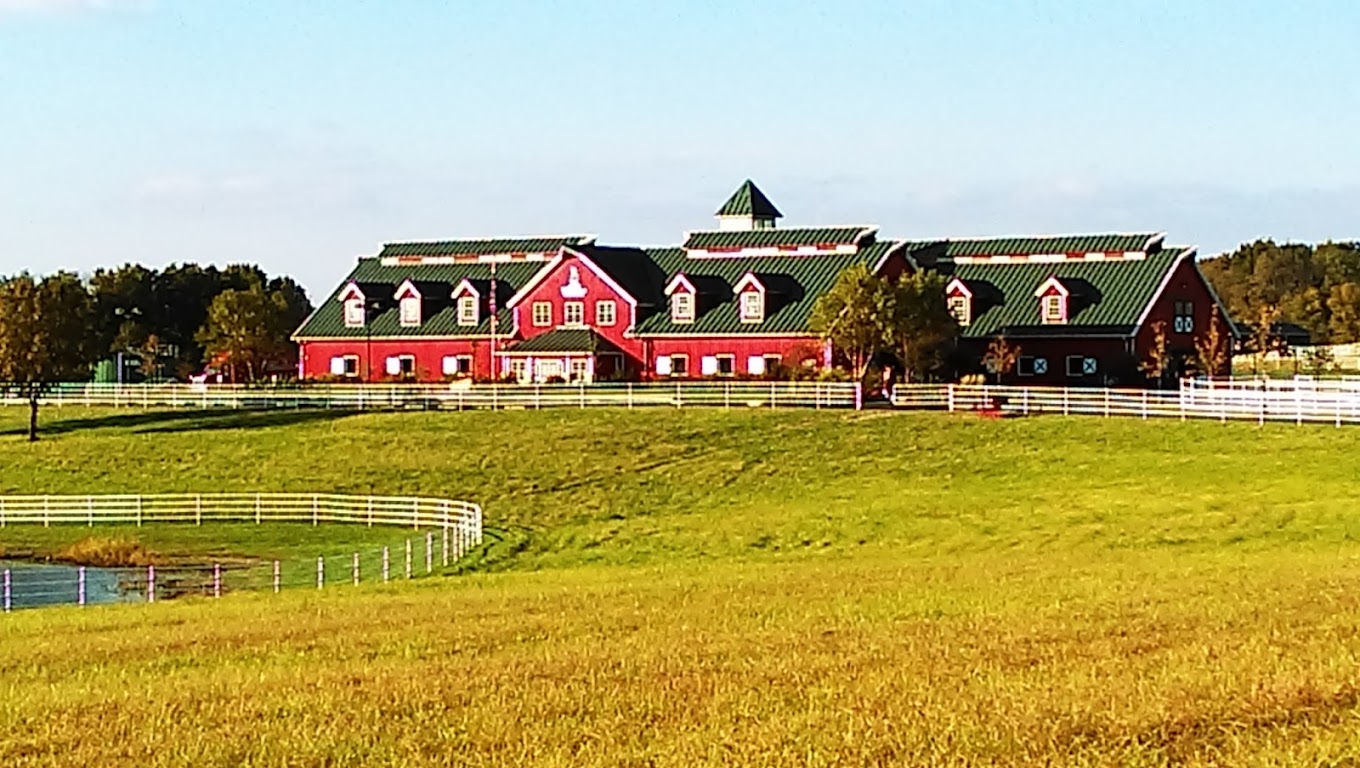
Warm Springs Ranch, Missouri 98, Boonville, MO, USA
Distance: 18.92 mi (straight line)
Farms Festivals and Events Guided Tours
View Listing
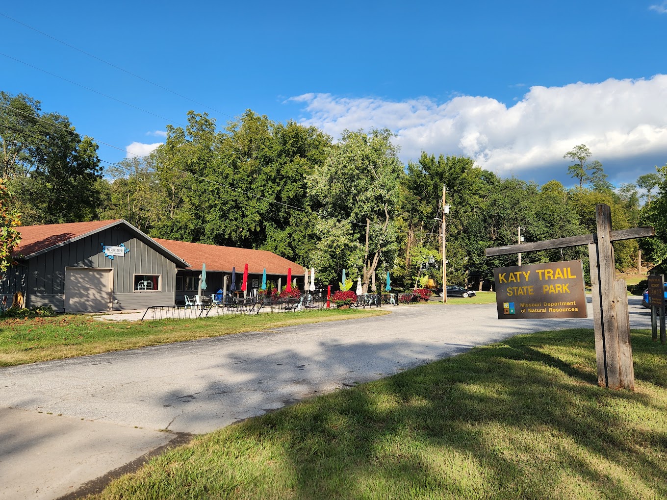
Meriwether Cafe and Bike Shop, 1st Street, Rocheport, MO, USA
Distance: 19.49 mi (straight line)
Bakeries Coffee Houses Food and Drinks Fun and Sports Outfitters
View Listing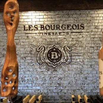
The Bistro on The Blufftop at Rocheport, West Highway Bb, Rocheport, MO, USA
Distance: 20.27 mi (straight line)
Wineries Food and Drinks Festivals and Events
View Listing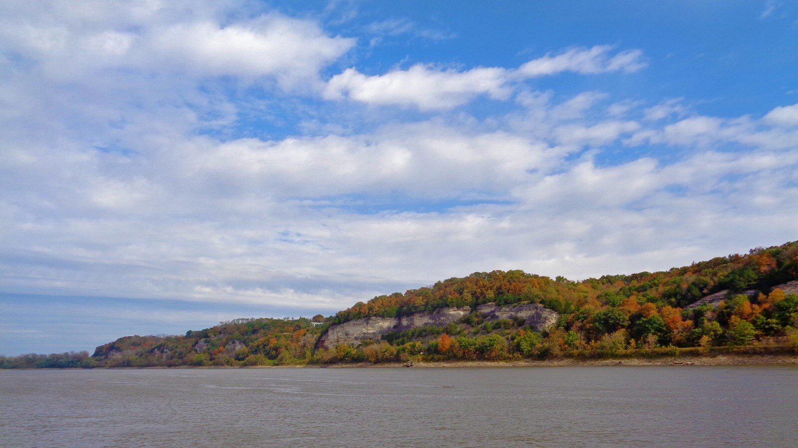
Moniteau Creek, Missouri, USA
Distance: 21.61 mi (straight line)
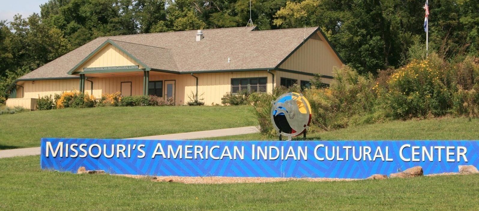
Annie and Abel Van Meter State Park, Missouri 122, Miami, MO, USA
Distance: 23.41 mi (straight line)
Museums and Interpretive Centers Tribal Experiences Outdoor Experiences
View Listing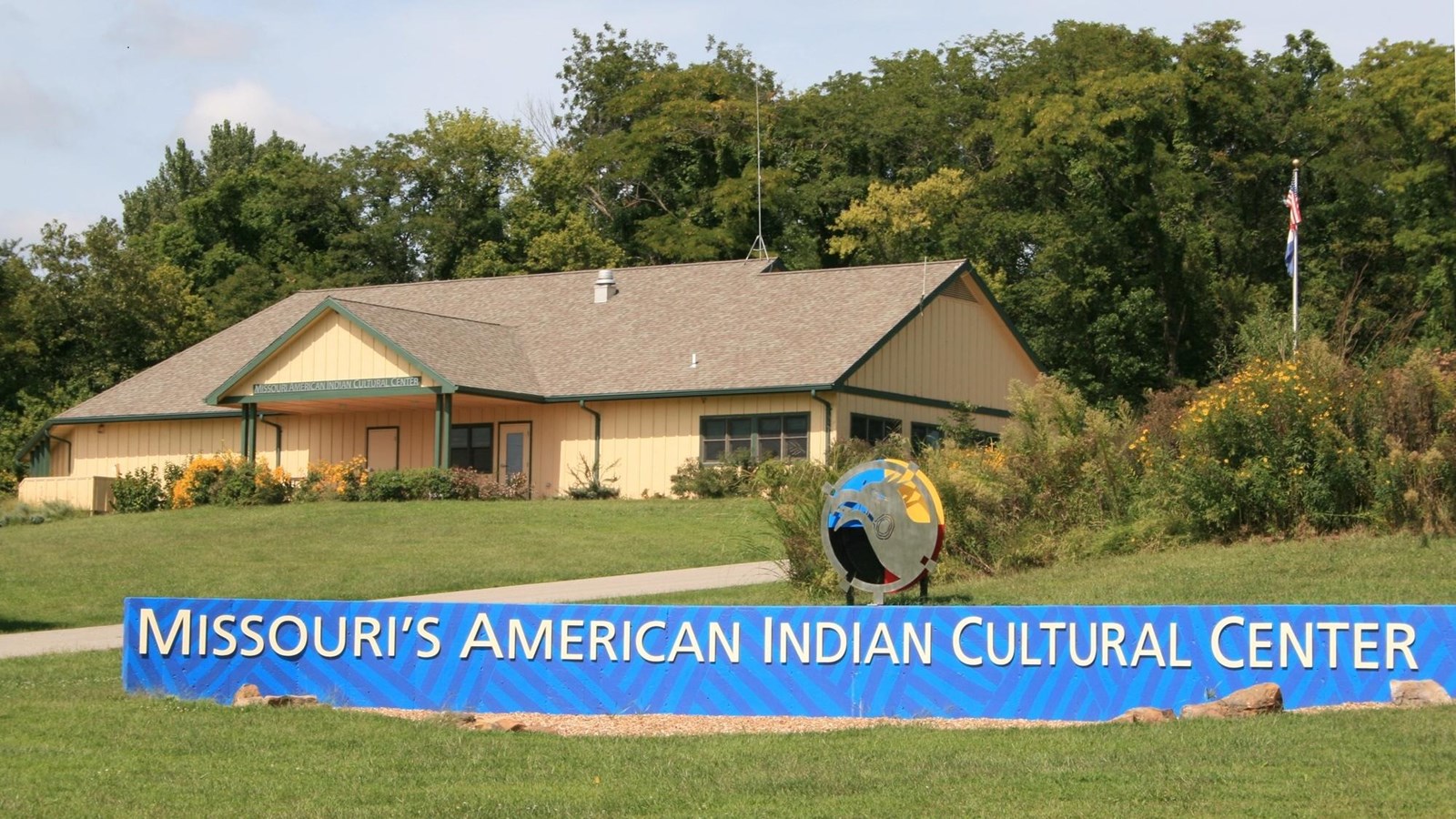
32146 MO-122, Miami, MO 65344, USA
Distance: 23.41 mi (straight line)
Museums and Interpretive Centers Tribal Experiences
View ListingOur bi-weekly newsletter provides news, history, and information for those interested in traveling along along the Lewis & Clark Trail.
Note: Instagram feed and SmashBalloon plugin are disabled on the DEV website.